THE MURRAY RIVER PROJECT, 2009
These photographs of the Murray River and its environs were taken in January, 2009. The project began in 1977, when I documented the Murray River’s edge and its changing landscape. At this time I was tracking the geographical changes of the river, from a fast flowing mountain stream to a slow, wide ribbon of water that in South Australia, cuts its way through fossil filled sandstone cliffs, to its mouth on the Coorong.
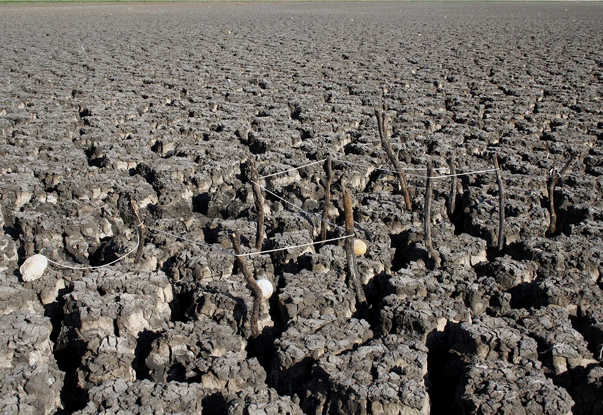
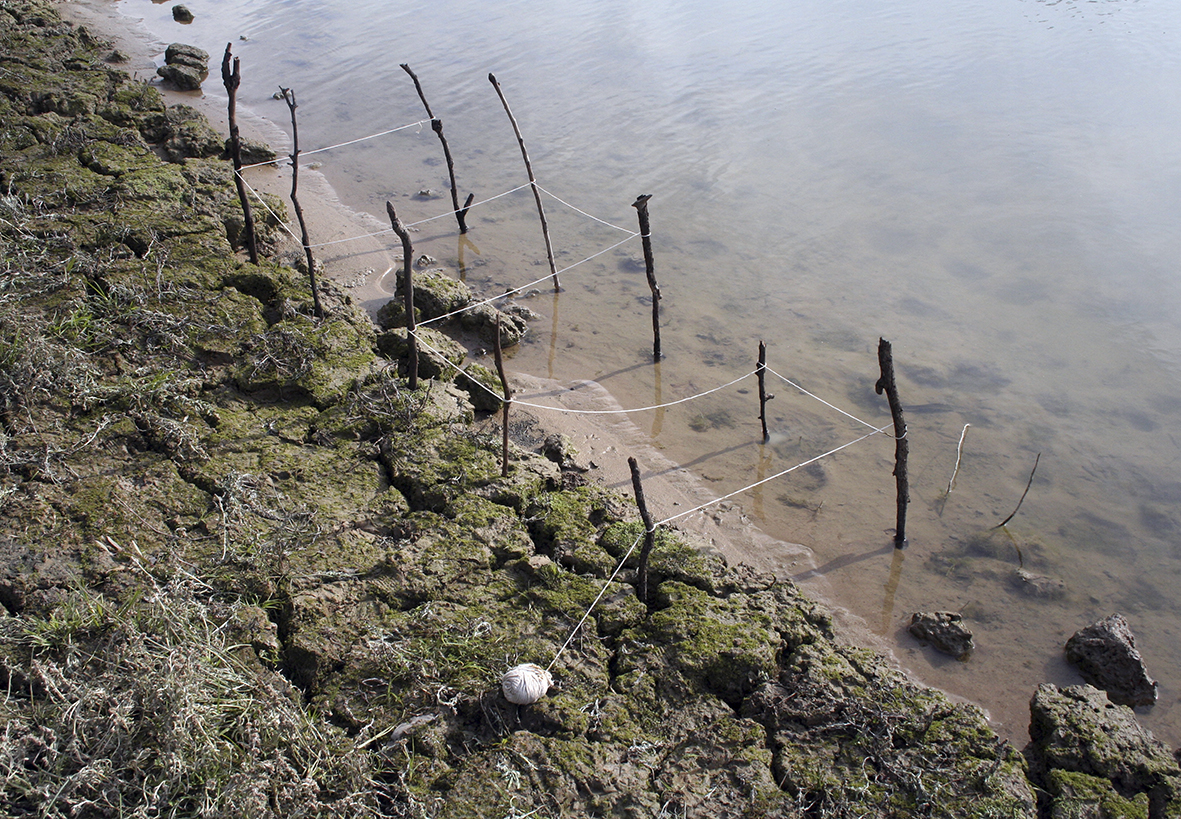
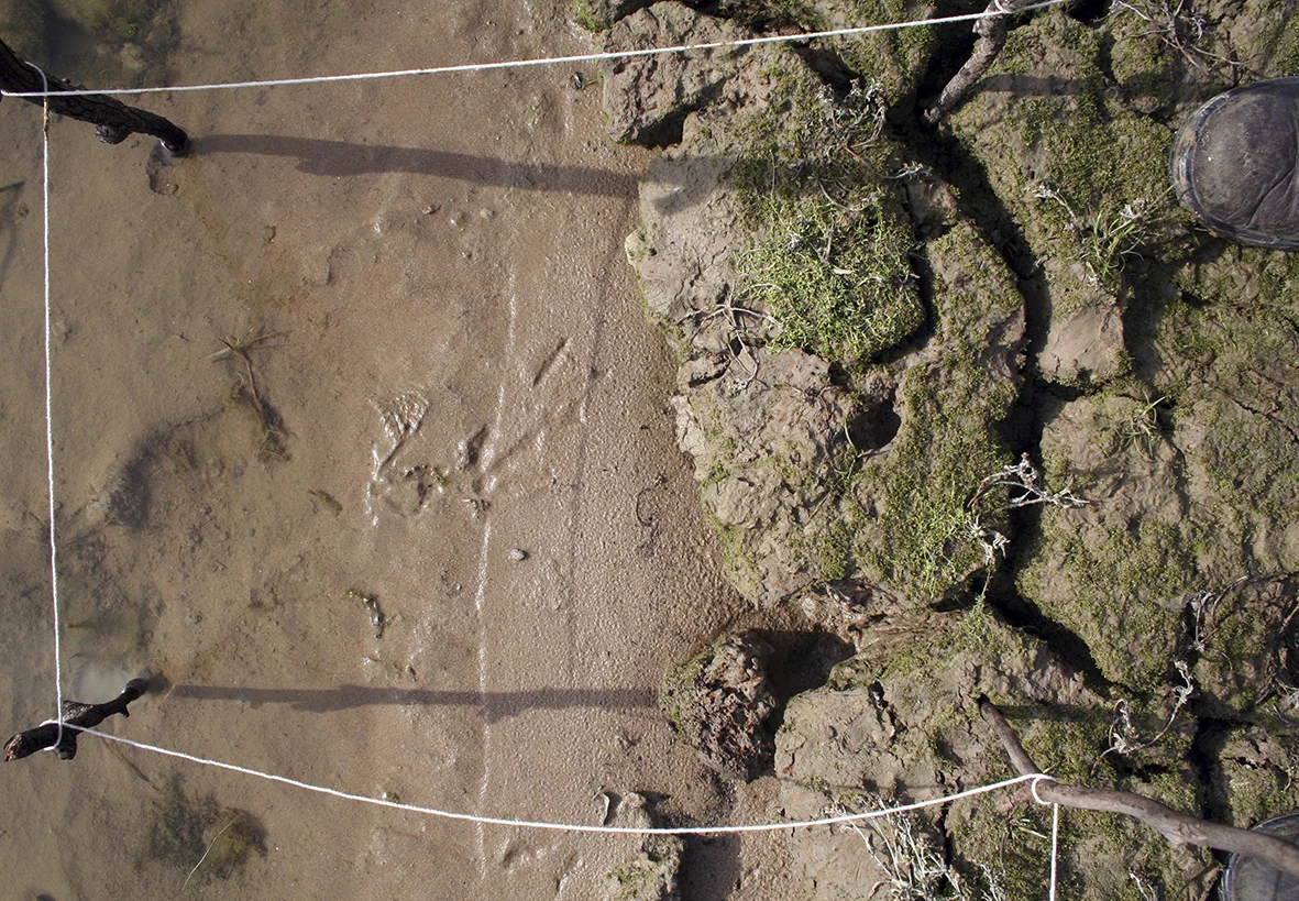
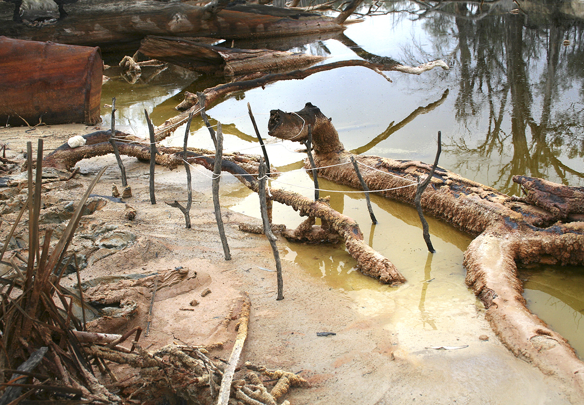
I constructed temporary grids that mimicked a cartographic mapping of the minutia of the river’s edge at five locations, beginning in the foothills of the Great Dividing Range in Victoria near Corryong, and ending at the river’s estuary, Lake Alexandrina in South Australia at a place known then as the Point McLeah Mission Station (now the Aboriginal community, Raukkun). In our current climate, this performative action seems to ‘mend’ the river’s edges.
Back in 1977 the Murray River was already showing signs of stress. Amongst other problems, the rising water table, caused by irrigation and the depletion of red river gum forests, resulted in higher than normal levels of salt in the water. The performance, Murray River Punch (1980), high lighted this a drift towards environmental degradation.
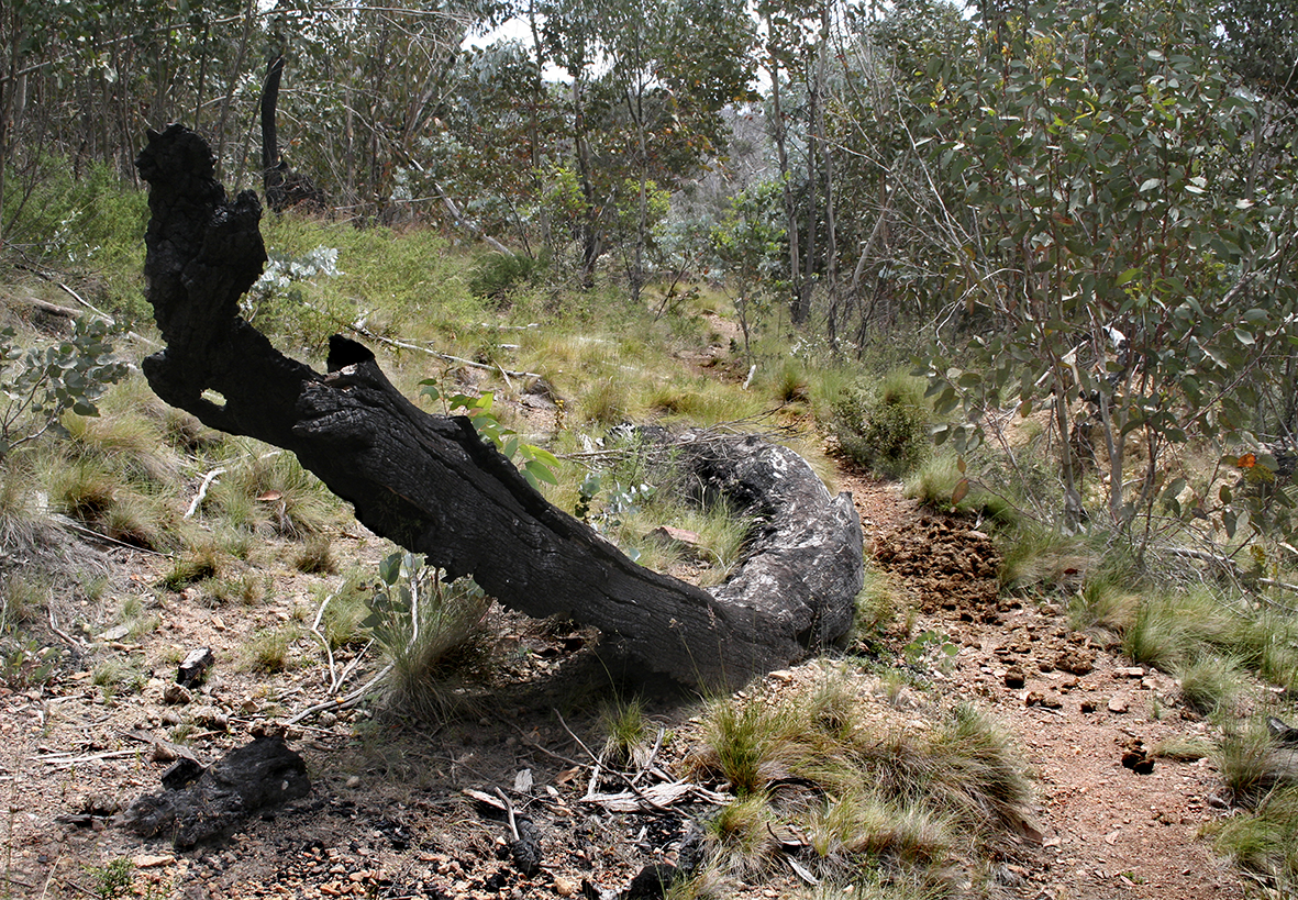
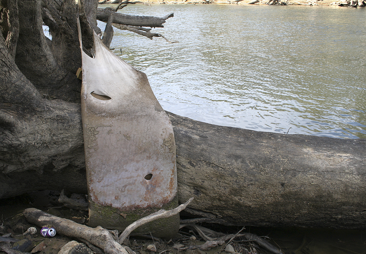
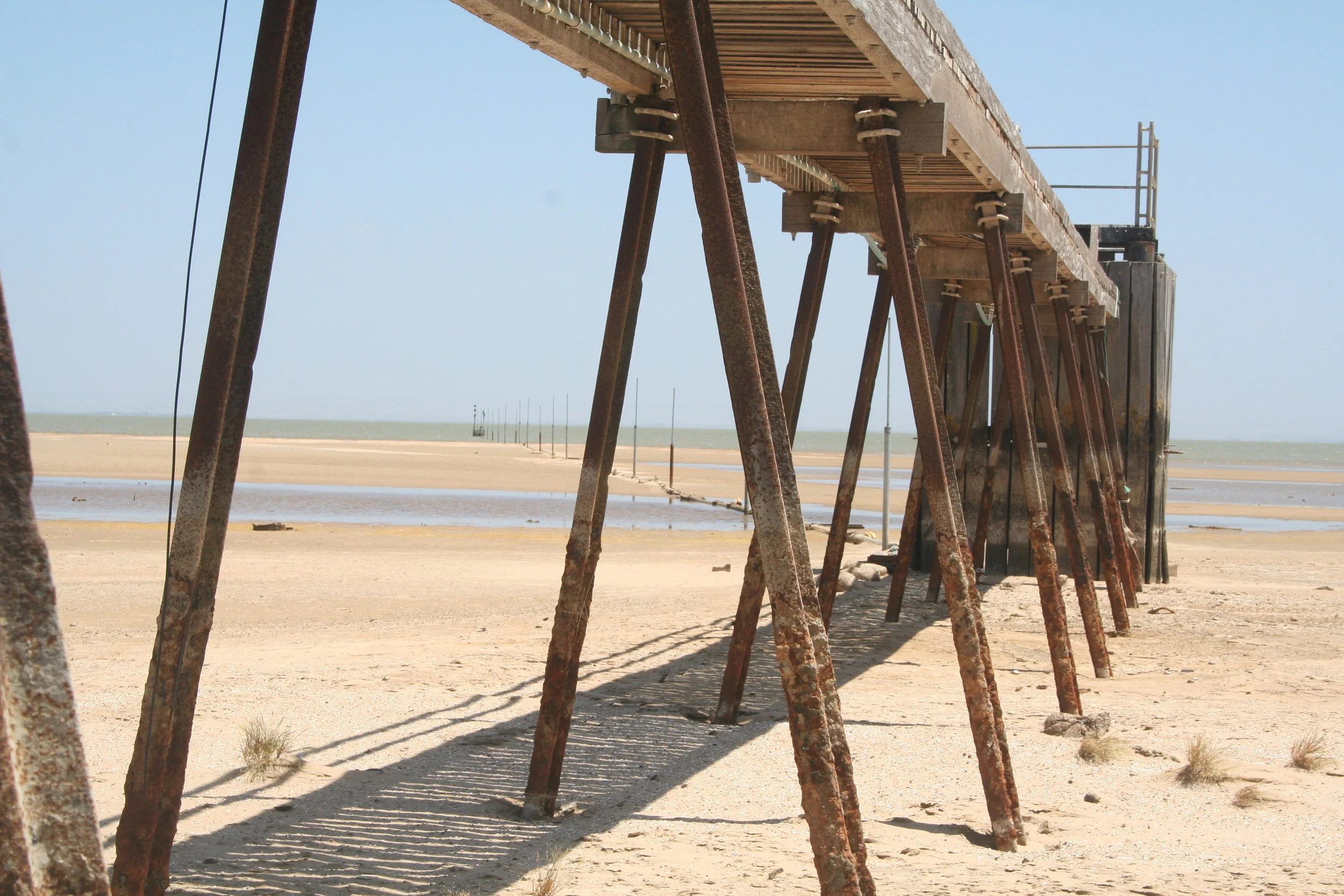
Thirty years on, after years of severe drought, the Murray River is beset with blue green algae, turbidity, acid sulphate contamination, salination, torpidity, dried up lakes and red river gum die back. In South Australia it is barely flowing. Lake Alexandrina, the river’s estuary, is a massive dust bowl dispersed with shallow pools of acid sulphate water. More than a metre below sea level, salt water inundation from the Coorong and Southern Ocean is held back by barrages.
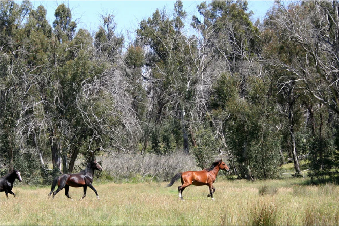
This series of photographs, taken between 2007 and 2009, begins at the Murray’s headwaters in Mount Kosciuszko National Park where the river starts as a fresh, humble soak, and ends at Barrage #4 at the Coorong.